
Continuous monitoring, day and night
Bumelerze merges three independent networks (USGS, EMSC, GEOFON) into one live feed you can trust.

Fast, trustworthy earthquake information in your language, from researchers who study this region every day.
Bumelerze merges three independent networks (USGS, EMSC, GEOFON) into one live feed you can trust.

Pick the picture closest to what you felt. One tap, works offline, becomes real community data.

Bumelerze computes its own EMS-98 shaking-intensity maps for earthquakes in the region, including ones no global service ever maps.
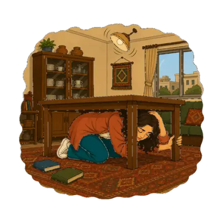
Plain-language guidance on what to do before, during, and after an earthquake, for Kurdistan's homes and streets.
What it does
Kurdistan first: earthquakes near you, merged from USGS, EMSC, and GEOFON, big and clear the moment you open the app.
“I felt it!”: one tap, in seconds, even offline. Every report builds a real, community picture of how earthquakes feel on the ground.
Our own shaking-intensity maps, computed for earthquakes in the region, including ones no global service ever maps, with sources and review status always shown.
Plain-language guidance for before, during, and after an earthquake, written for Kurdistan's homes and streets, not translated from elsewhere.
How it works, and how to check it
Every earthquake is checked against three independent networks and merged into one record. For this region, Bumelerze also computes its own SHAKEmaps, not a repost.
USGS, EMSC, and GEOFON each report the same earthquake. Bumelerze merges them into one entry, not three conflicting ones.
For earthquakes in the region, Bumelerze computes its own EMS-98 shaking-intensity maps from ground-motion models and felt reports. Every map states its review status.
A public, browsable catalog of regional earthquakes, so anyone can check what happened and where.
Browse the AtlasThe app, the SHAKEmap engine, and the data pipeline are open under Apache 2.0.
View the repositoryGet Bumelerze
Bumelerze is in active development. The full app runs today as a web app, no install required:
Questions, corrections, or feedback: hello@bumelerze.com